Hazard- Storm Surge
Flood protection During Storms at Changi Airport
Comprehensive water management to mitigate flood risk
Keywords
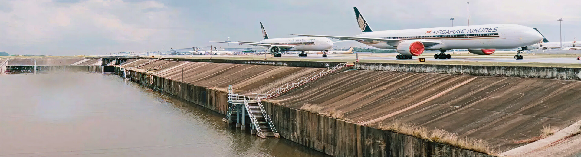
Singapore’s Changi Airport is located in the Changi district at the eastern end of Singapore, approximately 24 kilometers (15 miles) east of Singapore’s Downtown Core. The airport’s elevation is about 6 meters (20 feet) above sea level. In 2024, the airport handled 67.7 million passenger movements.
Acknowledging the challenges posed by climate change, the Singaporean government, including the Civil Aviation Authority of Singapore (CAAS), has adopted a comprehensive approach to coordinate climate change policies. CAAS has focused on enhancing Changi Airport’s resilience, particularly against coastal erosion and flooding due to rising sea levels and storm surges.
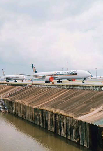
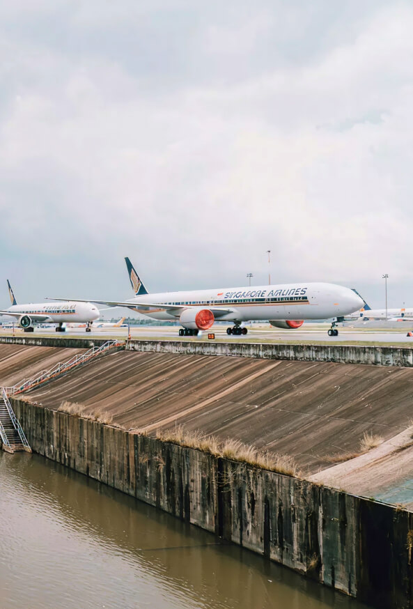
An impact assessment on the airport’s physical assets and operations was conducted to develop an adaptation strategy. Scenario analyses from short-term (2030) to long-term (2100) identified vulnerabilities in physical assets, with minimal operational impact due to the runway orientation. To mitigate potential infrastructure damage, targeted approaches for individual airport assets and broader district-level protections, such as levees, tidal gates, holding ponds, and pumping stations, were implemented. For instance, raising the road level around the airport acts as a levee for flood protection and serves as a fixed flood barrier. In 2016, the 1km stretch of Nicoll Drive near Changi Beach was elevated by 0.8m, exceeding the government’s sea level rise projection of 0.76m for 2100.
Evidence of the Solution(s) Effectiveness or Potential Impact
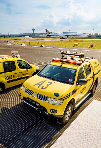
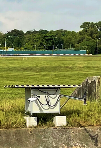
All three runways have grooved asphaltic pavements to reduce danger of aquaplaning and runway excursions during thunderstorms. The airfield drainage capacity has been expanded to reduce flood risk and flood barriers to protect ground-based aircraft navigation systems have been installed to ensure operational continuity. Sensors have also been installed in the drains to monitor their conditions and prevent flooding due to maintenance issues. This technology allows the operator to see the data 24/7 online.
In September 2021, Changi Airport successfully prevented flooding after heavy rain. Sensors alerted the Engineering team to rising water levels in the south detention pond’s outlet drain. Workers quickly cleared debris from the security grilles, resolving the issue. The sensor data, along with real-time camera footage, is accessible via a dashboard, allowing the team to analyze and predict trends. To simplify data interpretation, the Engineering team created a “Google drains” map, inspired by Google Maps’ colour schemes, to show real-time water levels in the airport’s drains.
To manage the peak discharge from the Changi North area into a 16m wide canal, the airport built a water detention pond of 540,000 m3 at the south of its aerodrome. The pond holds the water collected from the airports T3 airfield and public road and discharges into the sea during low tide to prevent flash flooding.
To ensure the Changi East site is resilient to future climate conditions, it has been designed with a platform level of 5.5 meters above mean sea level. Four new drains, totaling around 10 kilometers in length, will be constructed to prevent flooding, with the longest drain being approximately 3 kilometers long and 40 meters wide. Mega infrastructure projects like this are designed with a long-term perspective, incorporating necessary infrastructure provisions from the start to ensure sustainability. These preventive measures are expected to help Changi Airport remain resilient against future climate changes and adverse weather conditions well into the future.